Planning
We plan for a more accessible Utah
Every element of the built environment is planned. Planners and policymakers intentionally decide everything from the width of vehicle lanes and sidewalks, the quality of bike lanes, where to place crosswalks, and even how buildings look and function in our communities. If we want safer and more active communities, we must plan for them.
Our Planning Services
Below are examples of how we help plan communities. Didn’t see what you are looking for? If you have an idea or a request, let us know in the form when applying!
Bike Lane and Trail Design
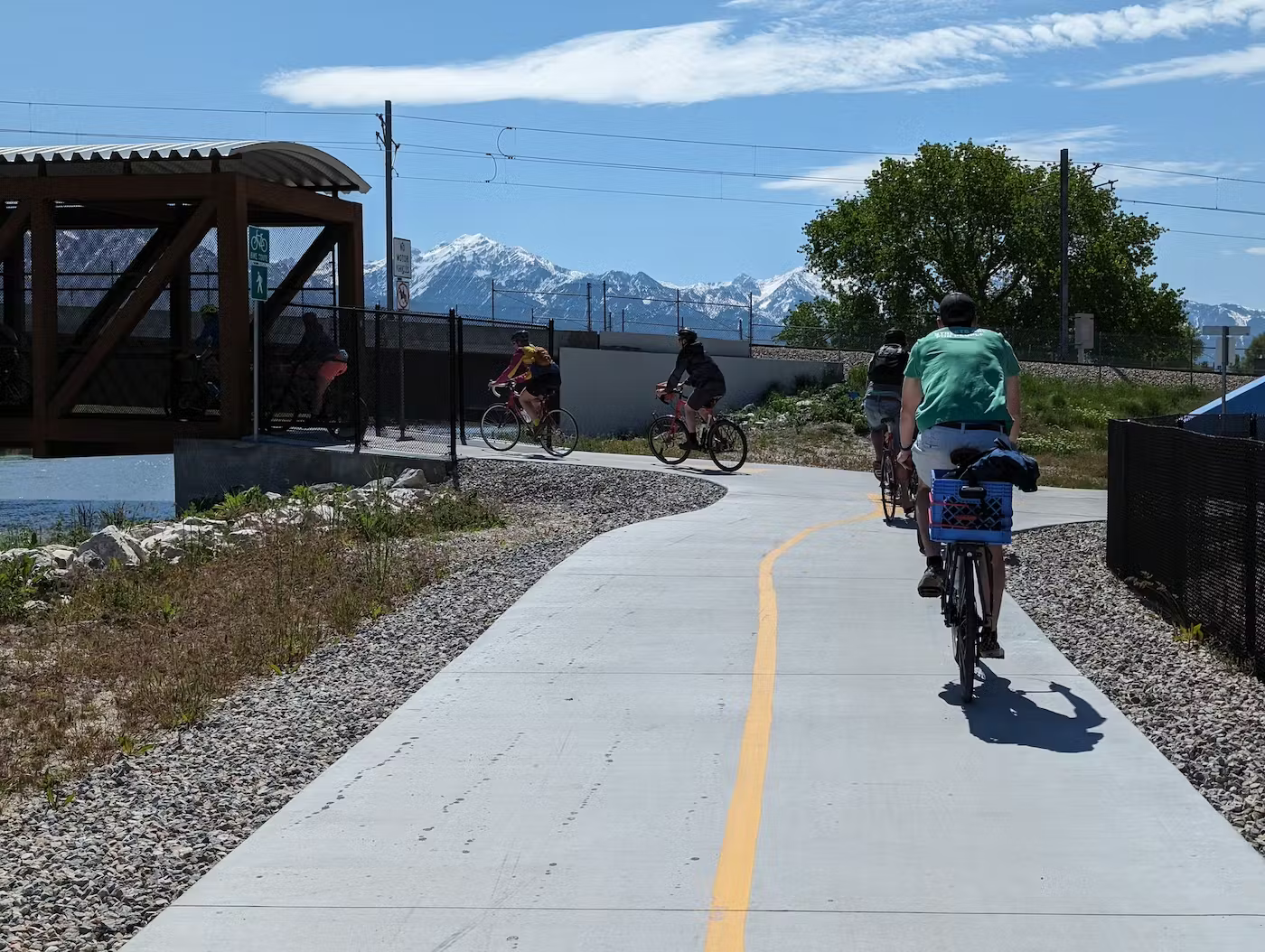
Bike lane and trail design involves creating safe, accessible pathways that accommodate cyclists and integrate seamlessly with surrounding infrastructure.
Active Transportation
Active transportation planning focuses on designing and promoting safe, accessible infrastructure for walking, biking, and other non-motorized travel modes.
Safe Routes to School Planning
Safe Routes to School planning focuses on improving infrastructure and programs to ensure students can walk or bike to school safely and efficiently.
GIS Analysis
GIS analysis for active transportation planning involves using spatial data to identify and optimize routes, infrastructure, and connectivity for non-motorized travel.
Community Engagement
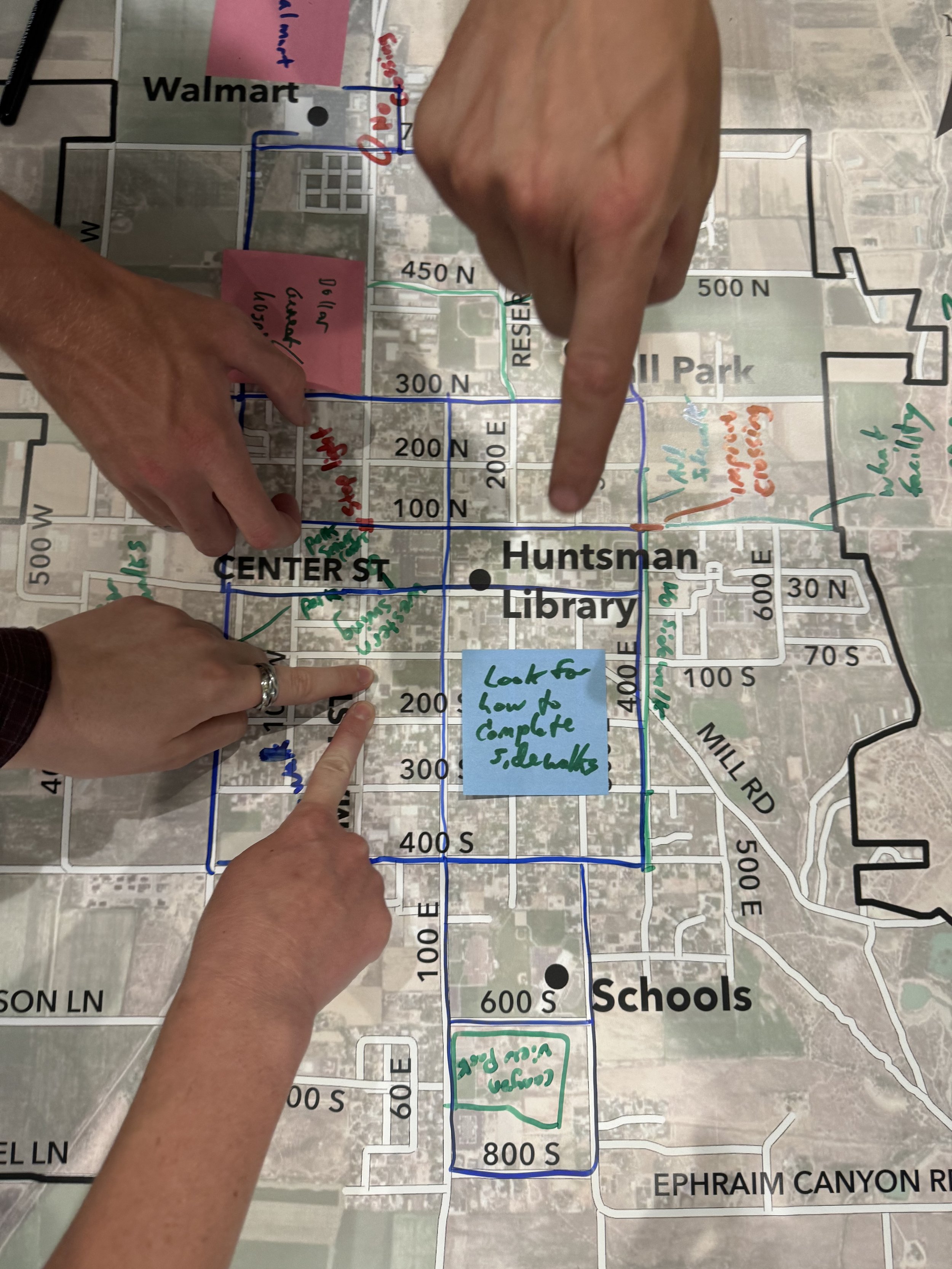
Community engagement for safer streets involves collaborating with residents to identify challenges, share ideas, and develop solutions that enhance road safety and accessibility for everyone.
Bike-Friendly land use planning
Bike-friendly land use planning integrates cycling infrastructure with community design to promote safe, convenient, and accessible biking options.
Wayfinding Plans
Designing wayfinding systems involves creating clear, intuitive signage and navigation tools to help users easily reach their destinations.

We specialize in active transportation planning to encourage high levels of walking and biking. We've worked with cities and regional governments for over a decade to build streets and spaces that prioritize people, improve accessibility, and enhance quality of life.
Need help planning your community?
Each plan results in a detailed safety assessment document that evaluates school boundary conditions using factors like speed limits, traffic volume (AADT), crash data (pedestrian, cyclist, and vehicle incidents from 2017-2024), and road width. These analyses culminate in a road suitability score to guide route planning. We also incorporate community feedback through mapping exercises, surveys, and walking/biking audits, ensuring our plans address real-world needs. The final document provides actionable recommendations for identifying the safest routes and empowering schools and families to advocate for a safer, more connected community.


